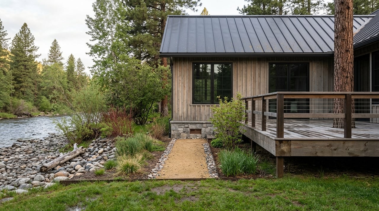
Riverfront property near Plains can look simple at first glance. You see water, space, and Montana views, and it is easy to picture the life you want there. But before you buy, you need to know how floodplain rules, access, septic limits, water rights, and recorded restrictions can shape what you can actually do with the land. This guide will help you understand the main riverfront property rules around Plains so you can move forward with more clarity and confidence. Let’s dive in.
Why riverfront rules matter
Around Plains, riverfront property often comes with a more layered review process than other types of land. Sanders County Land Services administers floodplain and subdivision rules, the Clerk and Recorder keeps plats, surveys, and real estate records, and the Town of Plains has its own floodplain and setback ordinances for property inside town limits.
That means there is rarely one single rule that answers every question. Instead, the practical rule set depends on where the parcel sits, whether it is in town or outside town, what the recorded documents say, and what kind of improvements you want to make.
Start with floodplain maps
One of the first steps with any riverfront parcel near Plains is checking flood hazard mapping. FEMA’s Flood Map Service Center is the official source for flood hazard maps, and Sanders County Land Services also provides a floodplain map effective June 5, 2012, a floodplain map index, and Plains-specific map PDFs.
County floodplain regulations apply to the 100-year floodplain and require floodplain permits before development in regulated flood hazard areas. Sanders County also notes that land outside the regulated flood hazard area can still flood, so a map should be treated as a starting point, not a guarantee.
If the property is inside Plains city limits, there may be another layer of review. The Town of Plains Title 11 includes rules covering permits, floodway standards, flood-fringe standards, variances, appeals, enforcement, and penalties.
What this means for you
If you are considering an offer, ask whether the parcel is in a Special Flood Hazard Area or floodway. You should also ask whether the seller has any floodplain permit history or map-change documents, such as a Letter of Map Amendment or Letter of Map Revision.
Those records can affect how you evaluate risk, future plans, and financing. They can also help you understand whether past development was reviewed under the applicable rules.
Flood insurance is a separate issue
A lot of buyers assume homeowners insurance covers flood damage. In many cases, it does not. Flood insurance is separate from homeowners insurance, and mandatory purchase requirements may apply for many federally backed mortgages in Special Flood Hazard Areas in participating communities.
This is one reason riverfront buyers should look beyond the listing details. Even if a property feels like the perfect fit, insurance cost and lender requirements can affect the total monthly picture.
Questions to ask about flood costs
- Is the parcel in a mapped Special Flood Hazard Area?
- Does your lender require flood insurance?
- What does flood insurance cost for this specific property?
- Has the seller obtained a LOMA or LOMR that changes how the parcel is mapped?
River access does not mean unlimited rights
Owning riverfront property near Plains can create confusion about access and use. Under Montana Stream Access Law, the public may use rivers and streams for recreational purposes up to the ordinary high-water mark, but people cannot enter posted lands or cross private lands to gain access.
Montana law also confirms access by public bridge or county road right-of-way, and public passage around fences may need to be provided when that access is blocked. For buyers, the key takeaway is that riverfront ownership gives you frontage, but it does not automatically give you exclusive control over public recreational use below the ordinary high-water mark.
Water rights are separate from river frontage
This is another area where assumptions can cause problems. In Montana, owning land next to water does not automatically mean you own the right to use that water.
According to the Montana Department of Natural Resources and Conservation, citizens do not own the water itself, but they can hold a legal right to use it. A recorded water right is required for the majority of water uses, so you should verify any claimed water use with actual documents rather than assume it transfers with the property.
If a subdivision creates lots averaging less than five acres, Sanders County requires evidence on the disposition of water rights. That makes water-right review especially important for certain riverfront tracts and development-minded buyers.
Check improvement plans before you buy
A riverfront parcel may support your vision beautifully, or it may limit it in ways that are not obvious from the road. If you want to stabilize a bank, place fill, grade near the water, install a dock, or do other work affecting the riverbed or banks, permits or notices may be required.
DNRC states that projects affecting stream beds or banks can require permits and notices to Montana Fish, Wildlife & Parks and may also trigger floodplain review. DNRC also notes that Montana’s streamside management zone law restricts some timber-harvest practices within at least 50 feet of streams, lakes, or other bodies of water.
Why this matters early
These issues are easier to evaluate before you close than after. If your plans include construction, clearing, erosion control, shoreline work, or major site changes, it is smart to confirm the approval path as part of your due diligence.
Septic and wastewater limits can shape buildability
For many riverfront properties in Sanders County, septic and wastewater rules are just as important as floodplain mapping. County wastewater regulations state that effluent absorption systems may not be located within 100 feet of a floodplain or flood-prone area shown on the most current FEMA maps.
The county also says systems located in a floodplain cannot be increased in use unless they meet applicable rules. The Environmental Health office permits and inspects wells and wastewater systems and maintains an interactive septic and well permit map.
Why buyers should care
A parcel can be attractive on paper and still be difficult to develop as planned. If septic, drainfield, and well placement do not line up with floodplain limits, the site may be less usable than expected.
That is especially important if you are looking at raw land, replacing an older system, or hoping to expand an existing cabin or home. Buildability often comes down to how all of these pieces fit together on the actual site.
Setbacks depend on the parcel
Many buyers want a simple answer to the question, “How far from the river can I build?” Around Plains, there does not appear to be one single countywide riverbank setback standard in the county materials reviewed.
Instead, the practical controls are usually floodplain rules, septic and wastewater setbacks, road-access requirements, subdivision covenants, and, for parcels inside town limits, the Town of Plains setback code. In other words, setback rules are often parcel-specific and jurisdiction-specific.
Plains setback rules inside town limits
Inside the Town of Plains, setback review is separate from floodplain review. The town setback ordinance calls for:
- 20 feet from the front street line
- 15 feet from the rear
- 5 feet from each side
Some downtown exemptions apply, and the town’s setback compliance form requires a site plan showing access and setbacks while also asking whether the site is in the floodplain.
Legal access needs its own review
Riverfront land can feel accessible because you can physically reach it. But physical access and legal access are not the same thing.
Sanders County states that rural addresses are based on driveway location, but a rural address does not confirm legal access to property. The county also notes that driveway encroachment approval is required whenever access is from a county road or state highway.
What to verify
Before you move forward, confirm how access is documented. You want to know whether the route is supported by deed, easement, or a platted road.
This can be especially important for larger acreages, legacy tracts, and properties marketed for recreation. A beautiful parcel can become much more complicated if legal access is unclear.
Recorded documents often control the details
Some of the most important riverfront restrictions near Plains are not found in a broad countywide rule. They are often found in the parcel’s recorded documents.
Sanders County subdivision regulations require review of existing covenants or deed restrictions, legal and physical access, existing easements, existing water rights, mineral rights, and HOA documents. In some subdivisions and planned developments, restrictive covenants and HOA provisions may also address maintenance of shared roads, drainage facilities, parks, or buildings.
Where to look
The Sanders County Clerk and Recorder is the official records center for real estate records, plats, and surveys. The county’s Rural Addressing office also advises property owners to review plats and deeds because an address alone does not prove legal access.
For buyers, that means the plat, deed, easements, and HOA documents may tell you more about the property’s actual use limits than a general online description ever could.
Smart questions before an offer
If you are thinking about buying riverfront property around Plains, these are some of the most useful questions to ask early:
- Is the parcel in a Special Flood Hazard Area or floodway?
- Does the seller have floodplain permit history, a LOMA, or a LOMR?
- What will flood insurance likely cost, and does the lender require it?
- What recorded covenants, deed restrictions, or HOA documents apply?
- What is the legal access path, and is it documented by deed, easement, or plat?
- Where can septic, drainfield, and well improvements go on the site?
- If you want to alter the bank, install a dock, add fill, or clear timber near the water, what permits or notices may be required?
- If the property is inside Plains city limits, which town floodplain and setback rules apply?
A local, practical approach helps
Riverfront property around Plains can be incredibly rewarding, but it asks more of your due diligence. The key is to move past assumptions and review the property through the right local lenses: floodplain status, insurance impact, legal access, septic feasibility, water rights, and recorded restrictions.
When you do that work upfront, you put yourself in a much better position to decide whether a parcel truly fits your goals. If you want a local guide who understands riverfront acreage and the details that matter in Sanders County, reach out to Deborah Warren for a local market consult.
FAQs
What floodplain rules apply to riverfront property near Plains, Montana?
- Riverfront property near Plains may be subject to FEMA flood mapping, Sanders County floodplain regulations, and, if the parcel is inside town limits, the Town of Plains floodplain code. Floodplain permits may be required before development in regulated flood hazard areas.
What does river access law mean for private riverfront property near Plains?
- Under Montana Stream Access Law, the public may use rivers and streams for recreation up to the ordinary high-water mark, but cannot cross private land or enter posted land to gain access.
Do water rights automatically come with riverfront land in Sanders County?
- No. River frontage does not automatically include a legal right to use water. In Montana, water use generally requires a recorded water right, so buyers should verify water-right documents directly.
Are there countywide river setbacks for building near the river around Plains?
- The county materials reviewed do not show a single countywide riverbank setback standard. In practice, limits often come from floodplain rules, septic setbacks, access requirements, subdivision covenants, and town rules if the property is inside Plains.
How do septic rules affect riverfront buildability near Plains?
- Sanders County states that effluent absorption systems may not be located within 100 feet of a floodplain or flood-prone area shown on the most current FEMA maps. That can directly affect where you can build or expand.
Does a rural address prove legal access to riverfront property in Sanders County?
- No. Sanders County says a rural address is based on driveway location and does not confirm legal access. Buyers should verify access through deeds, easements, or recorded plats.
What records should buyers review for riverfront property around Plains, Montana?
- Buyers should review plats, surveys, deeds, easements, restrictive covenants, HOA documents, floodplain permit history, and any available water-right records to understand parcel-specific limitations and obligations.