Dreaming of a backyard that rolls right into the Clark Fork River? If you are eyeing riverfront living in Thompson Falls, you probably picture quiet mornings, easy boat days, and wildlife at your doorstep. That picture is real, but so are the day-to-day details that make riverfront ownership different from a typical town lot. In this guide, you will learn what daily life feels like, how seasons shape the river, which rules matter on the shoreline, and what to check before you buy. Let’s dive in.
Why Thompson Falls riverfront stands out
Thompson Falls sits along the Clark Fork River, including stretches influenced by the Thompson Falls Dam reservoir. You will notice a mix of slow, lake-like water near the reservoir and more typical river current in other reaches. This variety makes for broad recreation, but it also means water levels and flow can change.
Spring runoff from late April through June raises flows and often turns the water murkier. Midsummer into fall, water typically drops and clears, which is great for swimming and fishing. In winter, shallow areas can see ice and the whole scene shifts quiet. Because of dams upstream and at Thompson Falls, releases can change water levels daily and seasonally. It pays to learn how your specific stretch behaves.
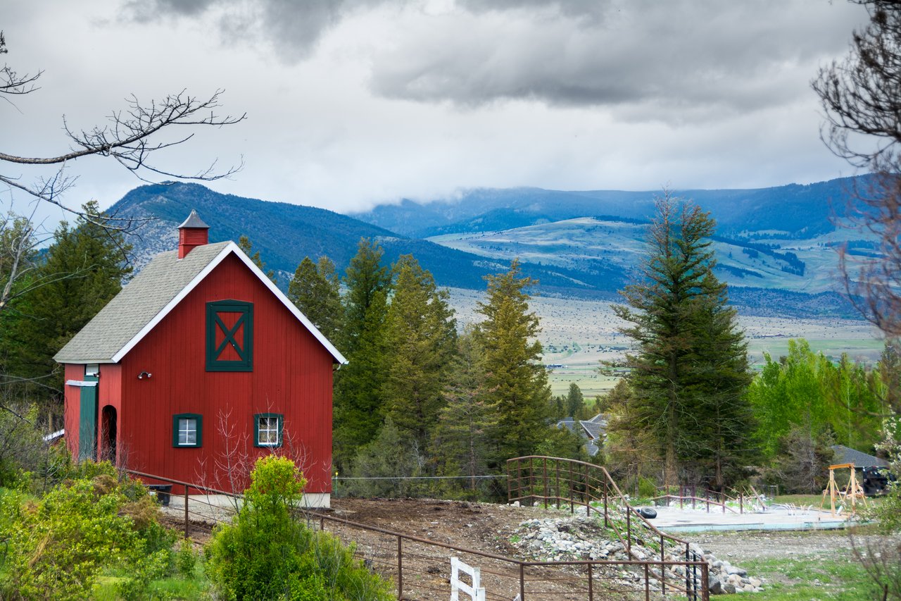
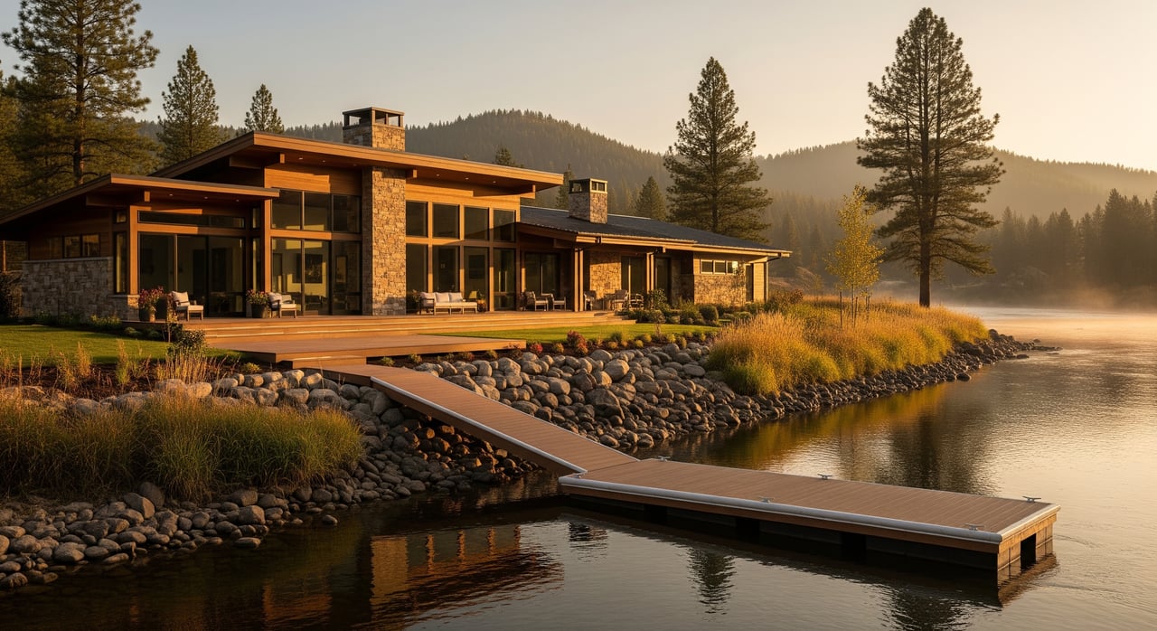
Typical riverfront properties range from older cabins and single-family homes to vacant shoreline parcels. Many rely on private wells and septic systems. Some parcels include riparian buffers with native vegetation, while others have more altered banks. Docks and shared boat access show up on certain stretches, but rules vary by location.
What daily life feels like
Access and utilities
Most people reach Thompson Falls via U.S. Highway 200 and local county roads. Some riverfront lots sit on paved public roads. Others are on narrow county or private roads with recorded easements. In winter, limited plowing on secondary routes can make second-home use and service calls more challenging. Ask about road maintenance and snow removal agreements.
Utilities are straightforward to confirm. Many properties use private wells and septic systems. Check electricity service, internet and cellular options, and the septic permitting history before you commit. If you plan to work from home, test coverage on site.
Seasons at a glance
- Spring: Higher, colder flows and murkier water. Low-lying shorelines can see temporary flooding in high water years.
- Summer: Peak recreation. Expect boating, fishing, and warm-afternoon swims. Mosquitoes can be active near slow backwaters.
- Fall: Cooler water, fewer visitors, and bright cottonwood color.
- Winter: Quiet. Some sheltered flats can ice over. Recreation often shifts to snow sports while boating access drops.
Privacy, boat traffic, and noise
Privacy depends on lot size, vegetation, and proximity to town or public launches. Areas near public access points and downtown see more activity in summer. Boat traffic can create wake and noise on weekends and holidays. Ask about local no-wake zones and any town rules for speeds near docks so you know what to expect.
Wildlife and insects
Expect riparian wildlife like waterfowl, songbirds, beavers, and deer. In some rural areas, larger mammals such as moose or bear can pass through. Beavers can alter shorelines over time, and heavy mosquito activity can occur near slow water. In warm months, algae or scum may develop in stagnant areas. Stay tuned to health guidance from the state if conditions change.
Recreation basics: boating and fishing
Boating season and AIS
The main boating window runs from late spring through early fall, depending on ice-out and freeze dates. If you plan to launch regularly, confirm the nearest public launch, parking options, and whether overnight moorage is allowed. Boats must follow Montana registration and safety rules, and the state runs an Aquatic Invasive Species program. Review current steps to inspect, drain, and decontaminate boats with guidance from Montana Fish, Wildlife & Parks and the AIS program overview.
Fishing windows and rules
The Clark Fork and its reservoir areas support popular game fish, including trout in many stretches. Runoff can make spring fishing tougher, while late spring through fall often brings better clarity. Anglers need a valid Montana fishing license and must follow current regulations for the specific river section. See the latest updates from Montana Fish, Wildlife & Parks.
Winter shift
As winter takes hold, boating activity drops and access can ice over in shallow areas. Many locals pivot to snowmobiling and cross-country skiing. If you plan to use your property year-round, consider how winter conditions will affect access, plowing, and maintenance.
Rules and responsibilities on the shoreline
Stream Access Law and privacy
Montana’s Stream Access Law allows the public to recreate below the ordinary high-water mark on rivers and streams, even where the shoreline is privately owned. You own your land to that high-water line, but you cannot block lawful public use below it. Because the precise high-water mark can be hard to read on sloped banks, it is smart to review a current survey and your title documents.
Permits for docks and bank work
Any alteration to the shoreline may require permits. This can include riprap, sea walls, dock installation, or channel work. Contact local Sanders County offices for zoning questions, and check with the county conservation district about any 310-style permit process for work within streambanks. Reach out to the Montana Department of Environmental Quality for water quality and certain construction activities. For work that affects navigable waters, wetlands, or state interests, consult the Montana Department of Natural Resources & Conservation and the U.S. Army Corps of Engineers.
Many agencies prefer bioengineered or vegetated buffers over hard shoreline armoring. If riprap is allowed, expect mitigation and formal approvals. Docks often come with setback, design, or seasonal-use rules. Always verify what is permitted on your exact parcel before you plan improvements.
Flood risk and insurance
Riverfront lots can fall within FEMA floodplains or floodways. Review the property’s flood zone designation and any elevation certificates. Properties in Special Flood Hazard Areas may require flood insurance, and even homes outside mapped zones can benefit from coverage. Start with the FEMA Flood Map Service Center to see current mapping and talk to your insurance provider about options and costs.
Septic systems and wells
Riverfront homes often rely on private septic and wells. County health departments regulate system type, capacity, and setbacks from water. Verify the system’s permit record, age, and maintenance history, and plan for regular pumping and inspections. For drinking water, ask about well depth, flow, quality tests, and whether any shared well agreements exist.
Water rights and uses
Owning riverfront land does not automatically grant broader consumptive water rights. Irrigation or other uses depend on recorded water rights under Montana water law, which are separate property interests. If you plan to irrigate or develop, consult the Montana Department of Natural Resources & Conservation and review local records early in your due diligence.
Costs and routine maintenance
Riverfront living includes a few line items that are unique to the shoreline. Plan ahead for:
- Dock upkeep: seasonal removal or installation if needed, plus repairs after storms.
- Bank stabilization: monitoring and vegetation management, with possible engineered fixes.
- Septic service: regular pumping and inspections to stay in compliance.
- Road maintenance: private road association fees if access is shared.
- Snow removal: contracts or equipment for winter access on secondary roads.
- Insurance: standard homeowner coverage plus flood or water-related coverage where appropriate.
- Invasive species monitoring: awareness of local issues and best practices for boats and gear.
Ask for insurance quotes early and verify whether elevation certificates or existing bank stabilization can help your rate.
Smart steps before you buy
Use this checklist during tours and due diligence so you can match the property to your lifestyle goals:
Access and daily use
- Year-round access: road conditions, grades, and who plows in winter.
- Road maintenance: private agreements, fees, and easements.
- Boat access: nearest public launch, parking, and fuel. Clarify if a dock or moorage is allowed.
Water and safety
- Water level patterns: how flows change with seasons and dam releases.
- High-water history: any records of flooding or inundation on the parcel.
- Survey details: location of the ordinary high-water mark and boundary lines.
- Bank stability: any known erosion or sloughing.
Regulations and permits
- Existing permits: records for riprap, docks, or other shoreline work.
- Restrictions: any recorded limitations on structures, setbacks, or use.
Infrastructure and maintenance
- Septic: system type, age, capacity, and last pump/inspection.
- Well: source, test results, and whether it is shared.
- Utilities: electricity, internet, and cellular service reliability.
Recreation and community
- Summer activity levels: typical boat traffic and noise in peak season.
- Local rules: no-wake zones or town ordinances that affect boating near shore.
- Neighbor access: shared easements, driveways, or boat paths.
Local contacts to keep handy
- Montana Fish, Wildlife & Parks for fishing rules, boat registration, and AIS updates: fwp.mt.gov
- Montana Department of Environmental Quality for water quality guidance and permits: deq.mt.gov
- Montana Department of Natural Resources & Conservation for water rights and state-managed river issues: dnrc.mt.gov
- Sanders County offices for planning, roads, and health department records
- Sanders County Conservation District for guidance on bank work and permits
- Thompson Falls town offices and chamber for launch locations and community rules
- Licensed surveyors, shoreline-experienced contractors, and certified septic inspectors
Work with a local riverfront expert
Riverfront living in Thompson Falls offers a rare blend of scenery, privacy, and recreation. It also asks you to be proactive about access, seasonal water changes, shoreline rules, flood risk, and septic or well care. A local guide who knows the Clark Fork, the reservoir, and county processes can help you navigate permits, inspections, and offer terms with confidence.
If you are considering a Thompson Falls riverfront home or lot, reach out for a practical, straight-shooting consult. With deep Sanders County roots and a focus on riverfront and recreational property, Deborah Warren can help you find the right fit and move forward with clarity.
FAQs
How does the Stream Access Law affect privacy on Clark Fork River frontage?
- The public may legally recreate below the ordinary high-water mark. You own above that line, but you cannot block lawful access below it, so expect occasional passersby along the waterline.
Do I need permits to add a dock or riprap near Thompson Falls?
- Likely yes. Check with Sanders County, the local conservation district, and state agencies such as DEQ and DNRC before planning any shoreline work or dock installation.
What months are best for boating and fishing in Thompson Falls?
- Open-water season typically runs late spring through early fall. Runoff can hamper fishing in spring, while late spring through fall often brings clearer water and easier access.
Will I need flood insurance on a riverfront home?
- It depends on the mapped flood zone. Review FEMA flood maps and talk with your insurer. Properties in Special Flood Hazard Areas may require flood insurance.
What should I know about septic systems on riverfront properties?
- Many parcels use private septic. Verify permitted design, age, and maintenance records, plus setbacks from the water and any limits on expansion.
How busy is the shoreline near town in summer?
- Areas close to public launches and downtown see more activity, boat wake, and noise on peak weekends and holidays compared with more secluded stretches.